Denver - Colorado Weather: March Recap and a look ahead to April
 |
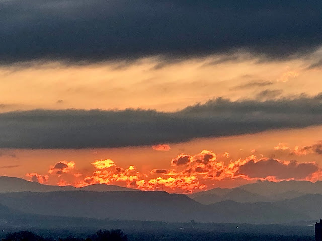
| Sunset over the Rockies |
And just like that, another month has gone by but not without the weather leaving some kind of trace on Colorado. It's been a rather normal month here with respect to most weather parameters. We were lacking in snowfall and we were warmer than normal.
Here Are the Stats
Average temperature - 42.4º F - +2.0º F warmer than normal
Average high temp. - 55.5º F
Average low temp. - 28.8º F
Snowfall - 7.5" - -3.9" below normal
Precipitation - 1.26" - +0.42" above normal
The takeaway from this is that we have a warmer than average March which led to more rain events than snow events. With the storms that we saw, there was a lot of moisture around which lead to the excess of precipitation in the area.
There were no drought concerns in the Denver area at the end of the month and thanks to the excess moisture, we should be able to hold onto drought-free conditions for the next few weeks. This should make for a good showing of colors once the trees begin to bloom.
Snowpack
Snowpack as of March 30 is running at 108% of average. Good standing as we head into the Spring months. Our normal peak snowpack date is April 11 and we may be reaching our peak within the next week - so it may come in slightly earlier than scheduled.
Areas in Southern Colorado are running right on par for average. This got boosted thanks to some southern-track storms over the last two weeks or so. Areas in Northern Colorado are averaging 15-20% above-normal so they're in better shape snowpack-wise.
What Will April Bring?
April is a big transition month for the Denver area. Not only do we have the threat for a few more snow chances, but we also have the threat of severe thunderstorms making their way back into the forecast.
Average highs during April go from the upper 50s to the mid-60s.
Average lows during April go from the lower 30s to the upper 30s.
The highest temperature ever recorded in April was 90º
The coldest temperature ever recorded in April was -2º
We average 1.71" of precipitation during this month.
We average 6.8" of snow during April.
As of right now, the folks at the Climate Prediction Center are calling for equal chances of seeing above or below-normal precipitation. They're also calling for an equal chance of above or below-normal temperatures.
Simply, it looks like it'll be an average April here in Denver.
Near-Term Forecast for Denver and the Front Range
The forecast is looking great over the next day...then a cold front will move through.
First off, Wednesday is looking mighty fine with highs in the upper 60s to 70º! Enjoy that sun from inside though - unless you're walking your dog.
A cold front will move through Wednesday night and bring some light rain showers to areas north and east of Denver. After a warm Wednesday, temperatures will drop about 20-25º and clouds will be present. When precip starts, it'll be mainly snow. Snow showers should start Thursday afternoon/evening and last through Friday morning. Overall, there won't be much, if any, accumulation but it will be starkly colder on Thursday and Friday.
Saturday through next Tuesday look to return to average with highs in the 60s for that period!
As we look passed early next week, it looks as though we will be in a more active pattern through the middle of the month meaning that we could have some decent swings in temperatures, more snow chances and even some thunderstorm chances.
Mountain Forecast
The mountains will be benefitting from an active pattern for the first half of April. There will be light snow around Wednesday evening and moderate snow will impact the high country on Thursday followed by light snow for Friday. Overall accumulations are looking to be in the 1-6" range. There could be some travel issues on mountain passes but don't expect travel to be extremely difficult.
Some light snow showers will impact the mountains over the weekened as well. These will be higher-based snow showers so mountain passes will see snow, mountain towns will see grauple, light snow, light rain.
Some more potent storms look to be present for the time surrounding Easter so stay tuned for those updates.
This is unfortunate to talk about snow but not think about this benefitting the ski industry. It's just a sign of the times. With that said, we can be appreciative that this will hopefully add to our snowpack and keep our reservoirs in good shape.
Enjoy the forecast! Enjoy the week. Be safe.
~ Rain or Shine
I'm Andy Stein


Comments
Post a Comment