UPDATE: Generally Light Snow Incoming for Denver
Hey Everyone!
Hope you enjoyed your weekend (and maybe you still are enjoying your weekend). I wanted to give a quick little update to the snow chances that I talked about last week.
First off, the mountains were supposed to get 1-2 feet of snow with some locally higher amounts around.
Colorado's snowpack is still sitting well above normal with the statewide average hanging out at 115 percent of average. The South Platte basin is currently doing the best in terms of the above-average snowpack. They are at 130 percent of normal.
 |
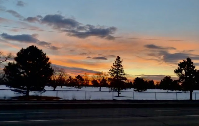
| A snowy Denver Sunrise - Meredith Garofalo |
First off, the mountains were supposed to get 1-2 feet of snow with some locally higher amounts around.
How Much Snow Did The Mountains Get?
Snow reports in the last 72 hours
Rabbit Ear's Pass - Near Steamboat - 23.8"
Cameron Pass - 16.8"
Winter Park - 12.6"
Berthoud Pass - 9.8"
Grand Lake - 8.4"
Eldora - 8.4"
Loveland Pass - 8.4"
The forecast was generally verified. The mountains had their fair share of tricky travel and also some avalanche concerns as well with several people being caught in avalanches and two deaths resulting from those avalanches. Please be careful if you are a backcountry skier or snowmobiler or any other kind of backcountry user.
Forecast
The mountains may see an additional 1-4 inches of snow between now and Tuesday morning. This will mainly affect the Central and Northern Mountains.
February 19 - Another minor burst of snow is expected for Wednesday is expected to bring many mountain locations a chance of seeing 1-3 inches of snow. So, nothing to warrant additional advisories or warnings.
February 20-21 - Thursday and Friday look to be calm days with great skiing conditions around but this lull will be short-lived.
February 22-23 - Our next storm is looking to bring snow to the southern and central mountains beginning on Saturday and lasting through Sunday. Areas around Telluride and Wolf Creek may expect 8-12" of snow and areas from Aspen to Monarch to Arapahoe Basin may expect 2-6" from this event.
February 24-25 - Another round of snow looks to impact the mountains from Monday to Tuesday bringing 2-6" inches of snow to the northern mountains. 2-5" for the central mountains and 1-4" for the southern mountains.
March 2-3 - It looks as if there may be another round of snow during this period. Too far out for specifics.
Denver and the Front Range
So, the big question last week was the timing. The timing is more clear now and some snow will be moving into the Denver area tonight. Snow may begin to fall after our evening commute and continue through Tuesday morning. A low-confidence 1-2" of snow may fall during this period. Looks like Colorado Springs and some of the Eastern Plains south and east of Denver will pick up the bulk of the snow. 2-5" is expected there.
February 19-20 - Wednesday- Thursday looks to be a little snowy as well. A similar setup to today/tomorrow so an additional 1-2 inches may fall for some in the Metro area. We will again see a good chunk of the snow falling to the south and east of Denver with those areas expecting another 2-4 inches of snow. It doesn't look as if Denver will need any Winter Weather Advisories (although some areas surrounding may) but that doesn't mean that we won't have any tricky commutes.
I would say that Tuesday morning and Wednesday night and Thursday morning commutes may be slow and a little slick.
February 22-23 - Looks like a few snow showers may be around but again, areas to the south of Denver will pick up the majority of snow during this time. Colorado Springs, Pueblo and Lamar could all see an additional few inches of snow this weekend.
February 24 - Looks like another storm will impact the state and this time it may bring Denver a few inches of snow. This is rather far out so don't take stock in the numbers but think about the possibility of starting next week with some snow around.
February 25 - March 1 - This period looks mostly dry currently. Of course, things could change but it seems as though we will be in a slight lull.
March 2-4 - Signals show another round of snow possible for this period. Way far out for specifics but again, another chance of snow for us as we head int the snowiest months of the year for Denver.
Snowpack
 |
| Snowpack numbers as of 2/14/2020 |
Colorado's snowpack is still sitting well above normal with the statewide average hanging out at 115 percent of average. The South Platte basin is currently doing the best in terms of the above-average snowpack. They are at 130 percent of normal.
~Rain or shine
I'm Andy Stein


Comments
Post a Comment